What is vegetation management and why is it important?
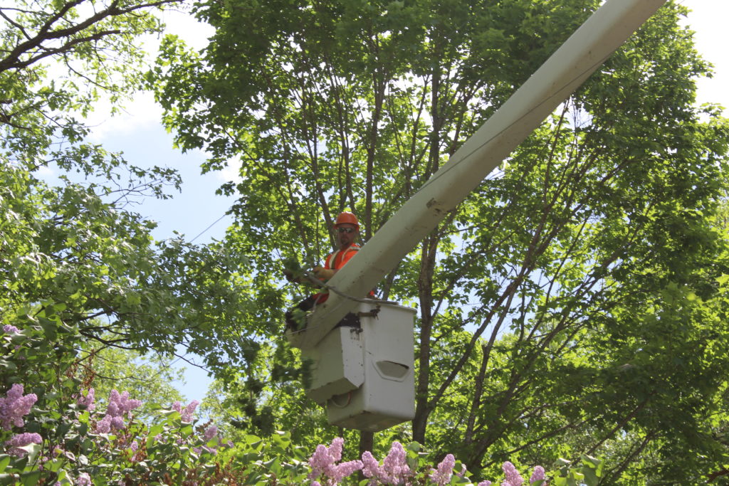
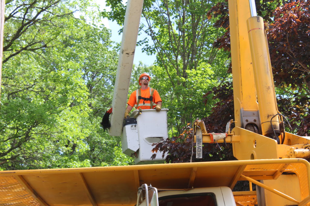
Vegetation management (VM), or right-of-way clearance, refers to the targeted control and elimination of unwanted vegetation. Such vegetation threatens assets such as power lines, which has a significant impact on our overall reliability and outages. In the last five years, 25% of LREC’s unplanned outages were caused by trees (this number also includes major events such as storms).
To combat these outages, LREC uses a proactive approach through a highly advanced VM program called AiDash. AiDash utilizes satellite technology and artificial intelligence (AI) modeling to plan tree trimming and removal. This ensures that LREC lines are cleared in the most cost-effective manner possible. Over the past 10 years, LREC has cut its annual vegetation control costs in half since implementing an integrated VM program.
So how does AiDash work?
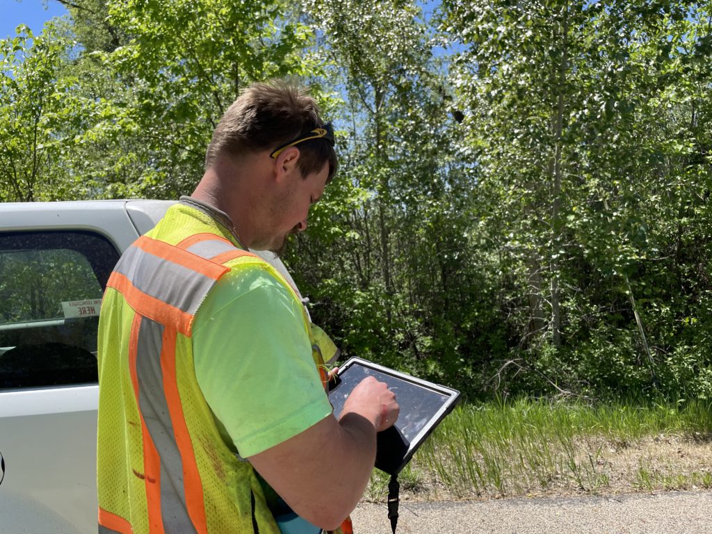
AiDash uses high-resolution multispectral satellite images combined with on-ground reports to provide increased visibility on the overgrowth of vegetation around transmission and distribution grids. Satellite imagery combined with AiDash enables you to objectively identify vegetation risks and reliability impact at any spot, any time. Additionally, this technology will let you look at individual tree species/growth patterns and predict vegetation growth up to 5 years in advance.
Is AiDash worth it?
When looking at the cost of this new VM platform, AiDash is predicted to pay for itself within five years. This was determined by looking at growth-related outages and the costs associated with them since 2017. A cooperative case study reported a 10% reduction in work planning costs, and AiDash was able to identify 100% of their hazard tree interruptions in just 25% of the time. Long-term utilities report a 10-20% reduction in VM spending.
Can I see where trimming crews are headed?
LREC created the below online map that allows members to see where mowing/trimming will occur in 2024. As LREC continues to implement a rigorous VM program, this map gives members more details concerning their service location and the work occurring. This map has been carefully crafted by LREC’s arborist utilizing satellite technology.

