What is vegetation management and why is it important?
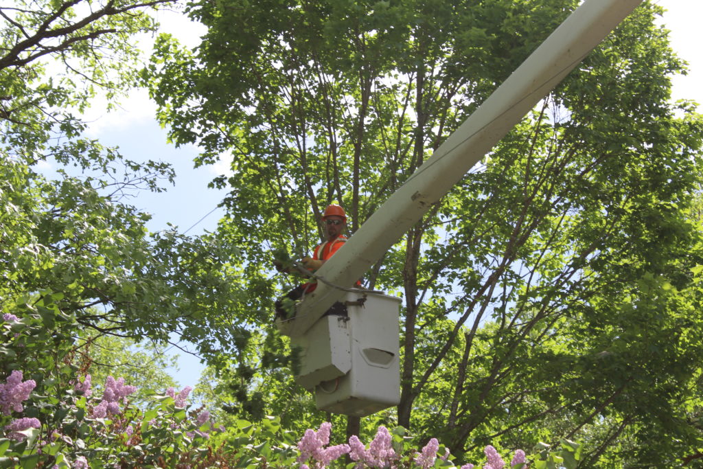
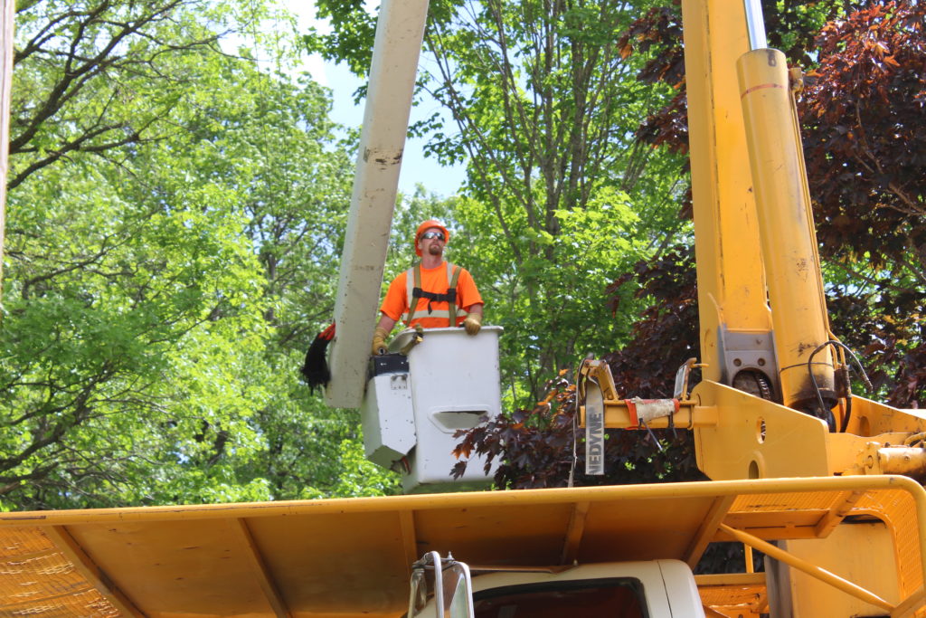
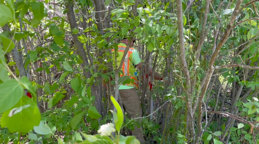
Vegetation management (VM), or right-of-way clearance, refers to the targeted control and elimination of unwanted vegetation. Such vegetation threatens assets such as power lines, which has a significant impact on our overall reliability and outages. In the last five years, over 32% of LREC’s unplanned outages were caused by trees (this number also includes major events such as storms).
To combat these outages, LREC uses a proactive approach through a highly advanced VM program called AiDash. AiDash utilizes satellite technology and artificial intelligence (AI) modeling to plan tree trimming and removal. This ensures that LREC lines are cleared in the most cost-effective manner possible. Over the past 10 years, LREC has cut its annual vegetation control costs in half since implementing an integrated VM program.
Can I see where trimming crews are headed?
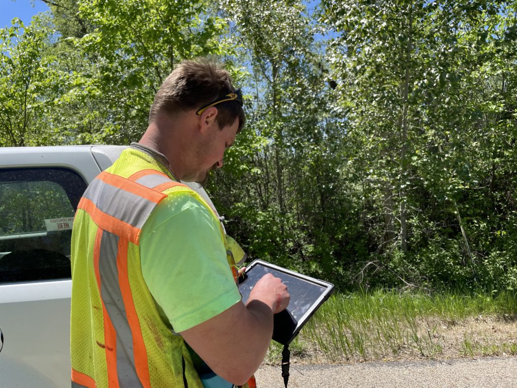
LREC created the below online map that allows members to see where mowing/trimming will occur in 2025. As LREC continues to implement a rigorous VM program, this map gives members more details concerning their service location and the work occurring. This map has been carefully crafted by LREC’s arborist utilizing satellite technology.
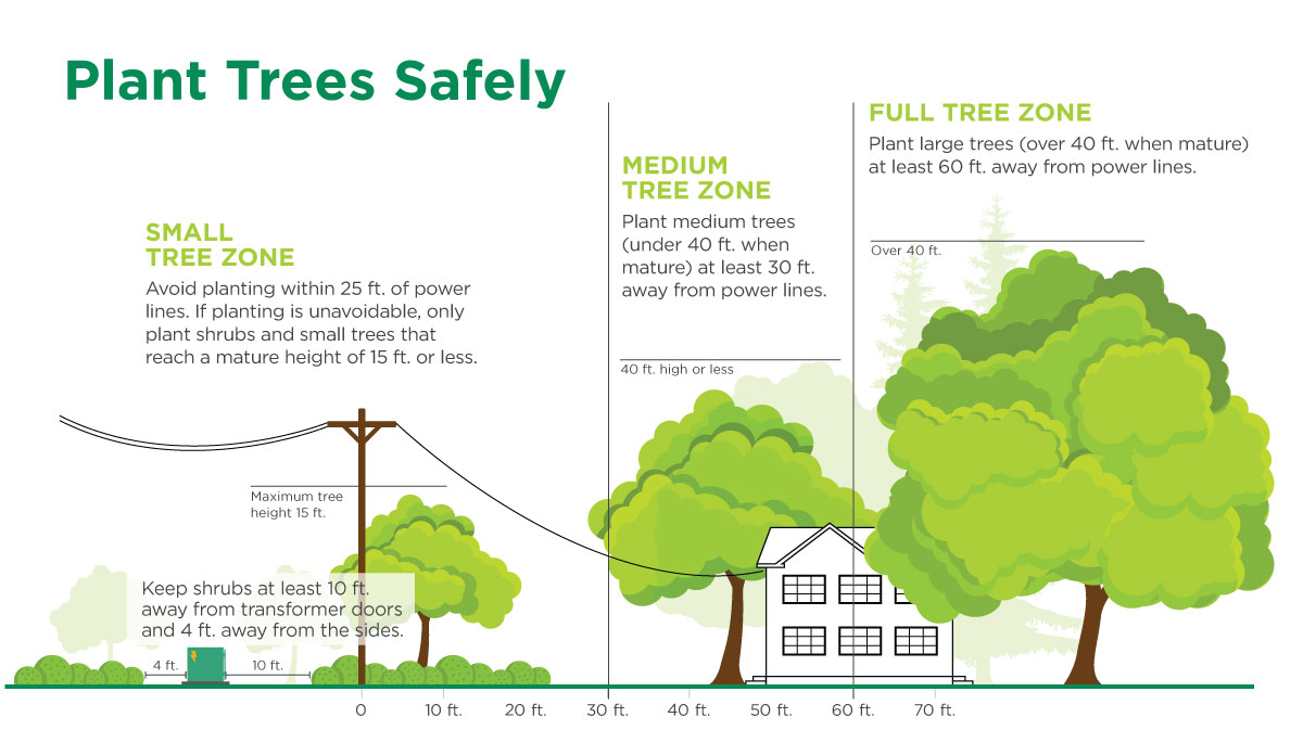
Planting Vegetation: What to Know
Over 32% of outages experienced by Lake Region Electric Cooperative and its members have been caused by interference from trees – so it’s important to have the correct guidance when getting ready to plant.
In addition, we encourage the use of forbs and bushes to help thin out undesirable tree species. However, whether for dust suppression or blocking traffic, our recommendation is to follow a tiered approach.
Questions? We’re here to help. Contact our Arborist for additional, no-cost information and advice.
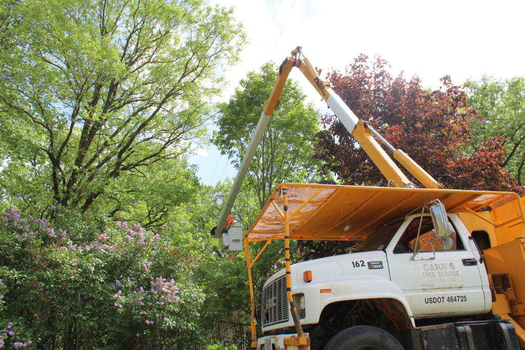
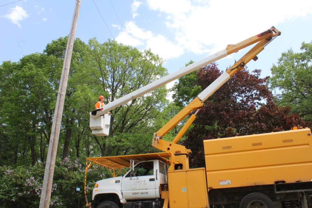
Vegetation Control
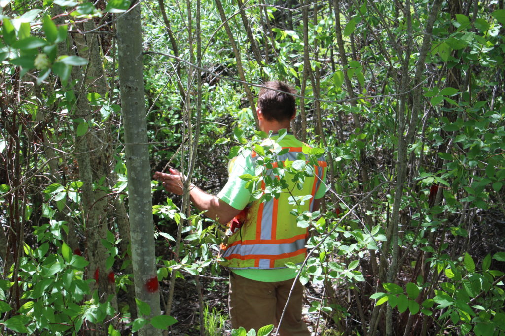
In order to minimize outages and ensure the access needed to maintain, improve, rebuild and repair service lines, LREC’s vegetation management policy requires rights of way access from property owners for the removal and/or trimming, cutting and clearing trees, brush and other vegetation as needed.
When necessary, drones or unmanned vehicles may be used to assist in the process.
Expand each section below for additional guidance and information:
A right-of-way (ROW) corridor for an electric line is a strip of land that an electric utility uses to construct, maintain, repair, or replace an overhead or underground power line. The corridor allows the utility to provide clearance from trees, buildings, and other structures that could interfere with the line installation, maintenance, and operation.
LREC requires a minimum 10’ clearance on each side of the pole for overhead primary lines. Minimum clearance required for underground cabinets and vaults is 3’ on back/sides and 10’ in front.
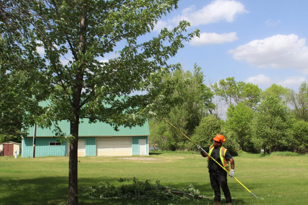
LREC has adopted a 3-step maintenance cycle in an effort to ensure safer, more reliable electric service:
- Step 1: Trees and brush cut or mowed from the corridor.
- Step 2: Application of an EPA-approved herbicide to control re-sprouting of trees and brush during the upcoming mid to late summer season.
- Step 3: A review of any areas that may have been missed in prior herbicide treatments will follow 1-2 years after Step 2.
Subsequent maintenance cycles to follow in approximately 5-year increments. Maintenance cycles will be less intensive due to the decreased amount of trees and brush.
- Before: Property owners/members are responsible for the removal of all personal property, including vehicles and trailers, from the corridor before process begins.
- After: Any cut branches/brush left on your property following the completion/as a result of the ROW clearing process are owned by you. If you need assistance with clean up, including wood chipping, contact our Arborist prior to beginning the process to discuss your options.
So how does AiDash work?
AiDash uses high-resolution multispectral satellite images combined with on-ground reports to provide increased visibility on the overgrowth of vegetation around transmission and distribution grids. Satellite imagery combined with AiDash enables you to objectively identify vegetation risks and reliability impact at any spot, any time. Additionally, this technology will let you look at individual tree species/growth patterns and predict vegetation growth up to 5 years in advance.
Is AiDash worth it?
When looking at the cost of this new VM platform, AiDash is predicted to pay for itself within five years. This was determined by looking at growth-related outages and the costs associated with them since 2017. A cooperative case study reported a 10% reduction in work planning costs, and AiDash was able to identify 100% of their hazard tree interruptions in just 25% of the time. Long-term utilities report a 10-20% reduction in VM spending.